Dear Google,
I know you don’t make your online maps for writers, but they sure come in handy when I’m researching city streets or the routes between cities for a story or novel set in the present day.
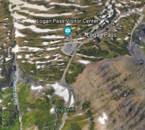
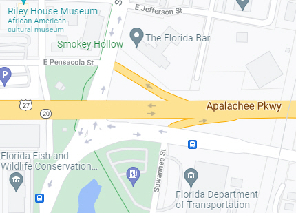 But I want more. I want to be able to “age” those maps to see what the streets and highways looked like 5, 19, 15, 20, etc. years ago.
Most older city and county maps aren’t very legible when viewed online. Or, if you’re looking for them on eBay, you’ll find them folded up. (No help there.) Buying paper copies is time-consuming and expensive.
I’ve found apps that show what the land around my house looked like in the past–sometimes for hundreds of years back. But streets and highways, nothing, unless I want to drive to a dusty archive and get them to allow a Xerox of their ancient paper maps.
I’m not really sure how it helps Google to post current maps and directions online. And then to maintain them year by year. So probably for a one-time investment of several million bucks, your crack staff could merge in older and older paper maps to give us an aging application.
Just a thought.

 Malcolm R. Campbell is the author of the Florida Folk Magic Series that beings with “Conjure Woman’s Cat” and extends through three more novels to “Fate’s Arrows.”